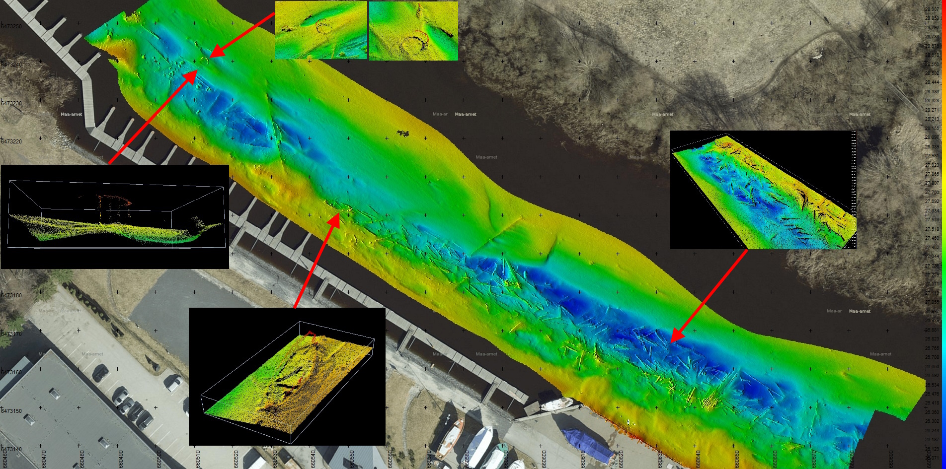
Prior to conducting any building works in the waters of marine and other harbours, a detailed seabed survey and mapping is required. We use our own high-resolution multi-beam equipment in coastal waters, lakes and ponds and are able to conduct the following tasks:
- Hydrographic surveys
- Bathymetry
- Seabed mapping
- Water sampling
- Search for submerged objects
- Geological hazard inspection
- Drawing up of navigation charts
- Dredging operations supervision